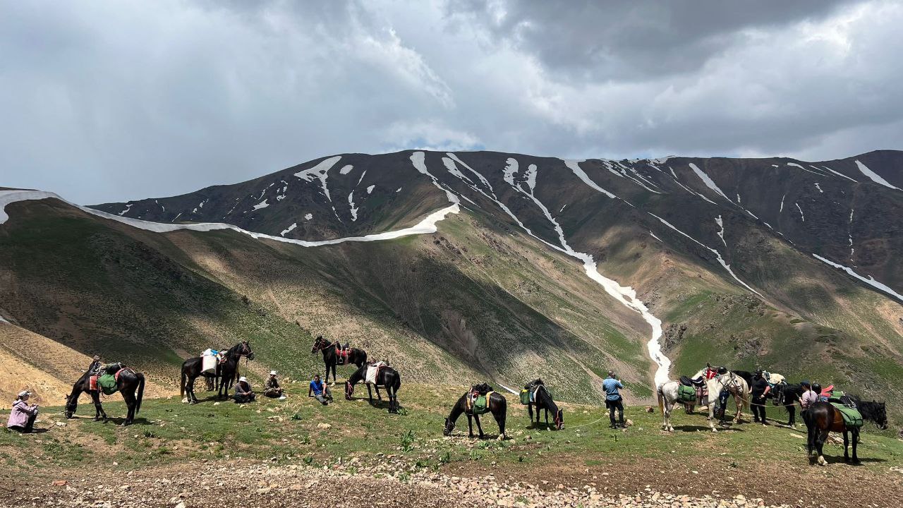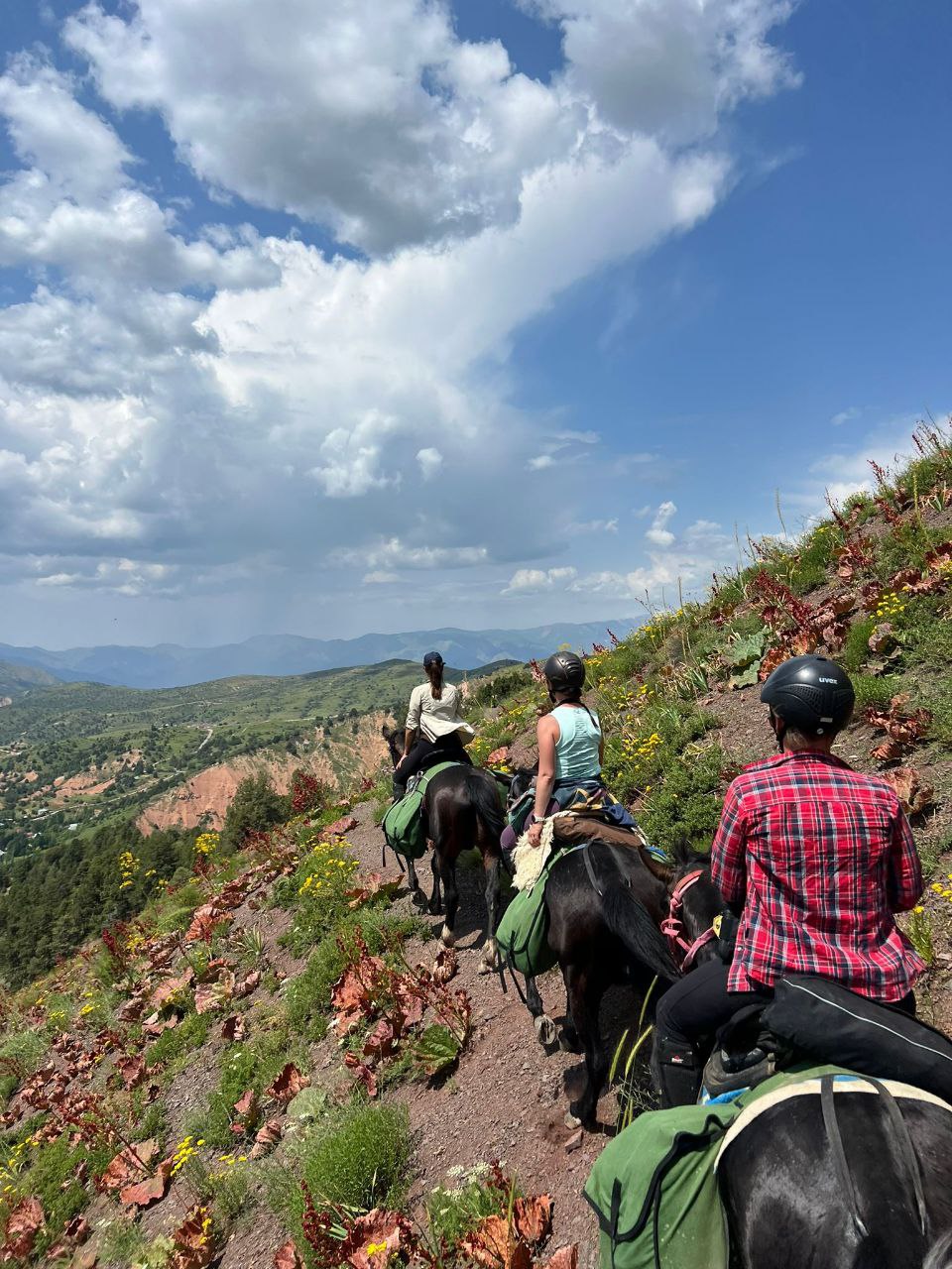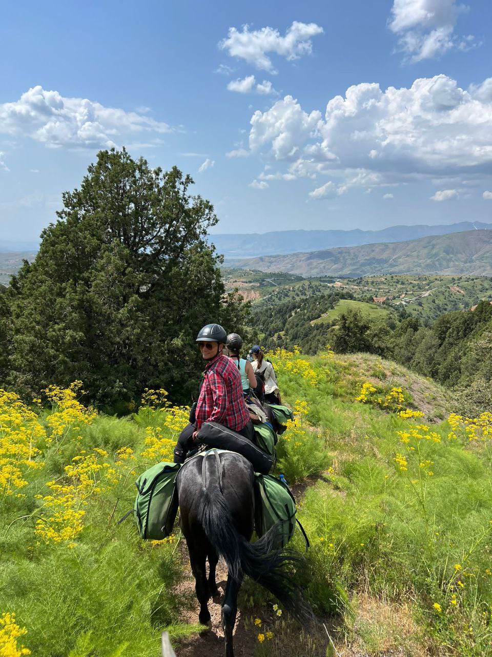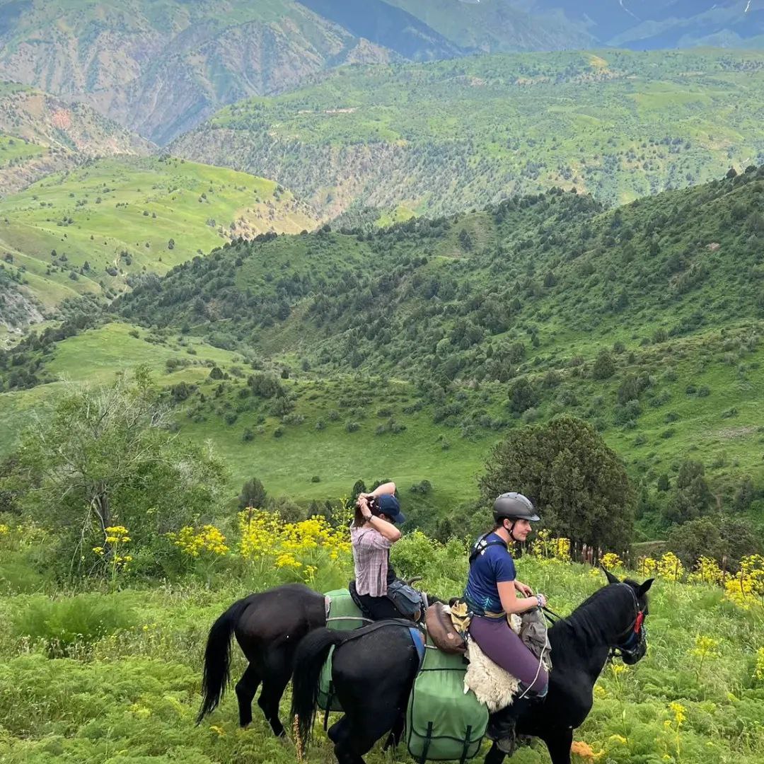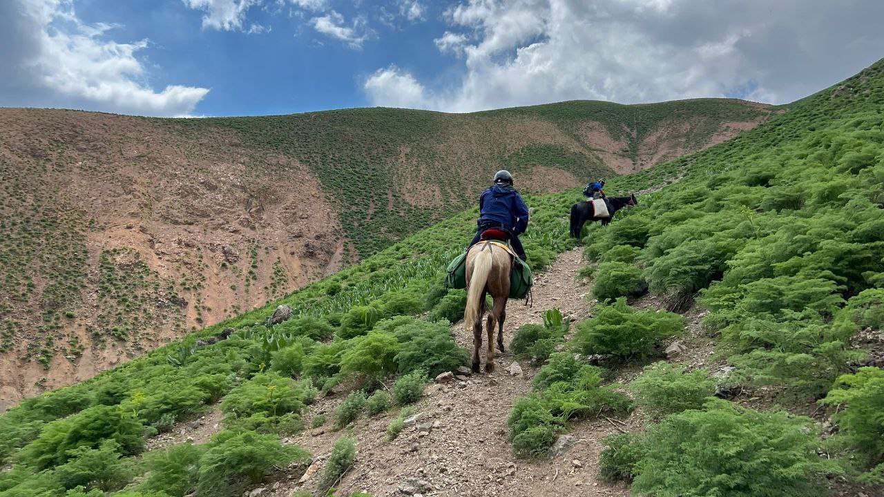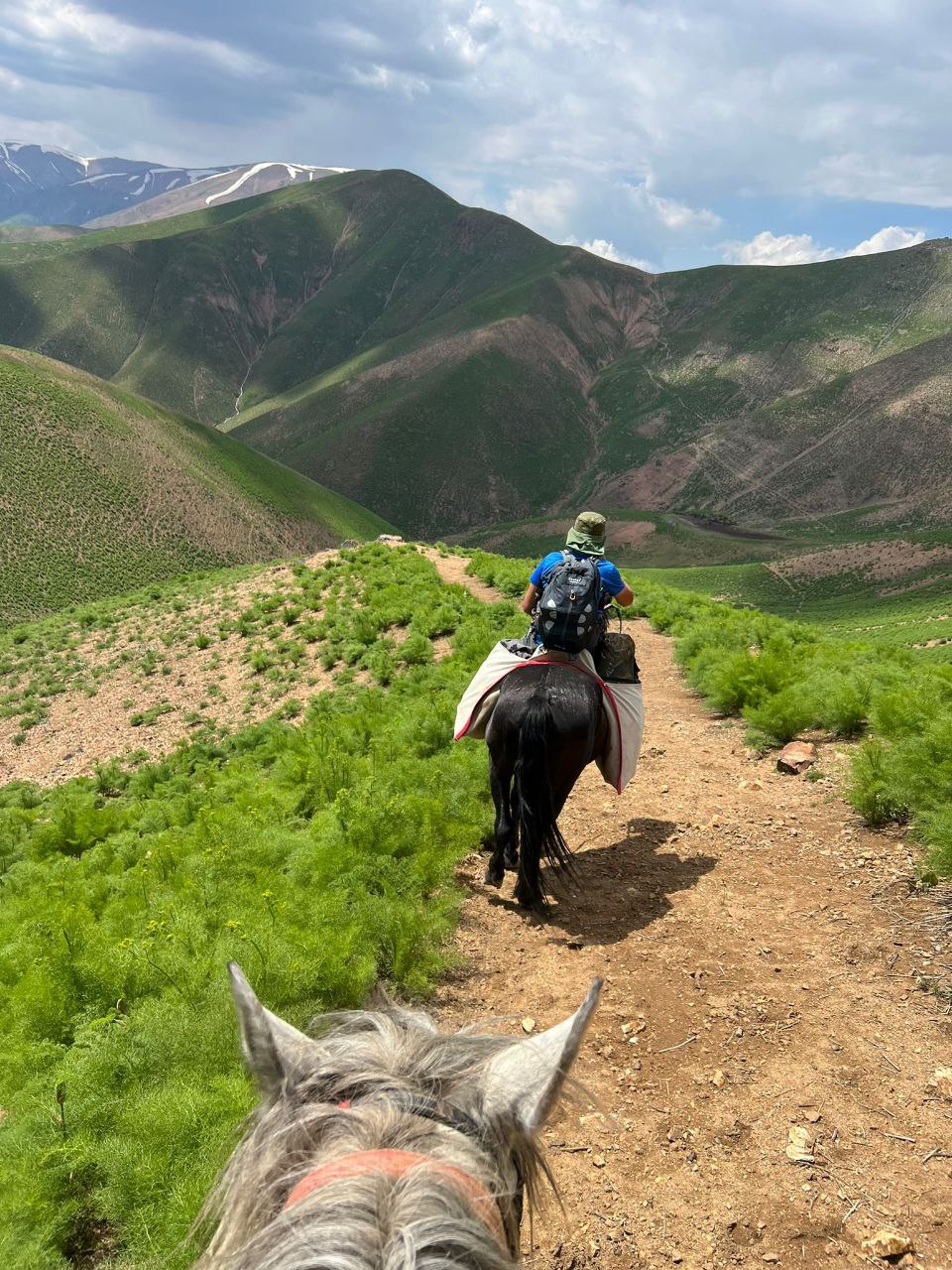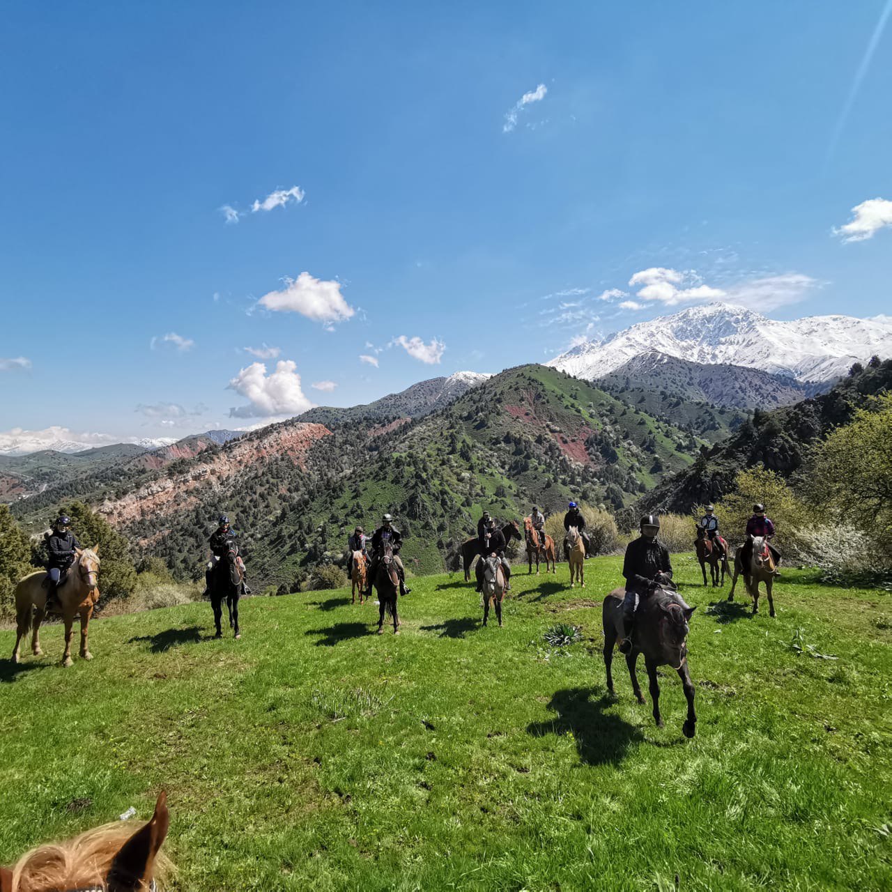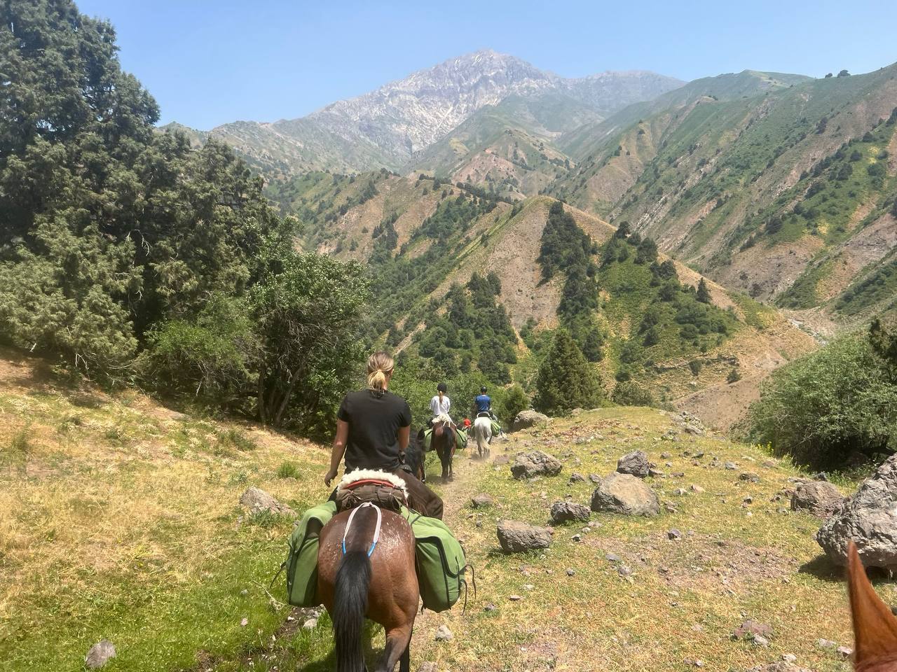
Itinerary Summary & HighlightsChet Kumbel Pass ($H = 1830\text{m}$): You start with a ridge walk that offers the best views of the Beldersay valley and the "petroglyphs" (ancient rock carvings) often found nearby.Urta Kumbel Pass ($H = 1830\text{m}$): A crossing point that leads you down into the Marble River (Mramornaya).The Marble River: This is a local favorite. The riverbed is made of natural white marble, polished smooth by water. Keep an eye out for fossilized shells in the rocks—remnants of the ancient Tethys Ocean.Takhtajaylou Pass ($H = 2000\text{m}$): A steep climb to a high-altitude plateau. The name translates roughly to "Throne Meadow," fitting for its majestic views of the surrounding peaks.Aksai River & Big Chimgan: You descend toward the base of Big Chimgan ($3309\text{m}$). This area is lush with birch groves and is the traditional starting point for climbers.Return to Tashkent: 85 km drive (about 1.5 hours) brings you back from the wild mountains to the modern capital.
Overview
Day-by-Day Itinerary
Tashkent - Kumushkan
Tashkent → KumushkanSyurenata peak/Aksakata valley
Kumushkan → Aksakata valleyKokbet mount/Kumbel ridge
Aksakata valley → Kokbet mountainChet Kumbel pass
Kokbet mountain → Chet Kumbel passRide towards Beldersay
Kumbel → BeldersayTowards Chimgan village
Beldersay → Greater ChimganIncluded
- Guide service
- Transportation
- Renting horses
- Renting tour facilities
- Kitchen ware
- Registration
- Meals
Not Included
- Visa support
- The insurance
- Personal mountain equipment
- Personal first aid kit
- Alcohol beverages
Gallery